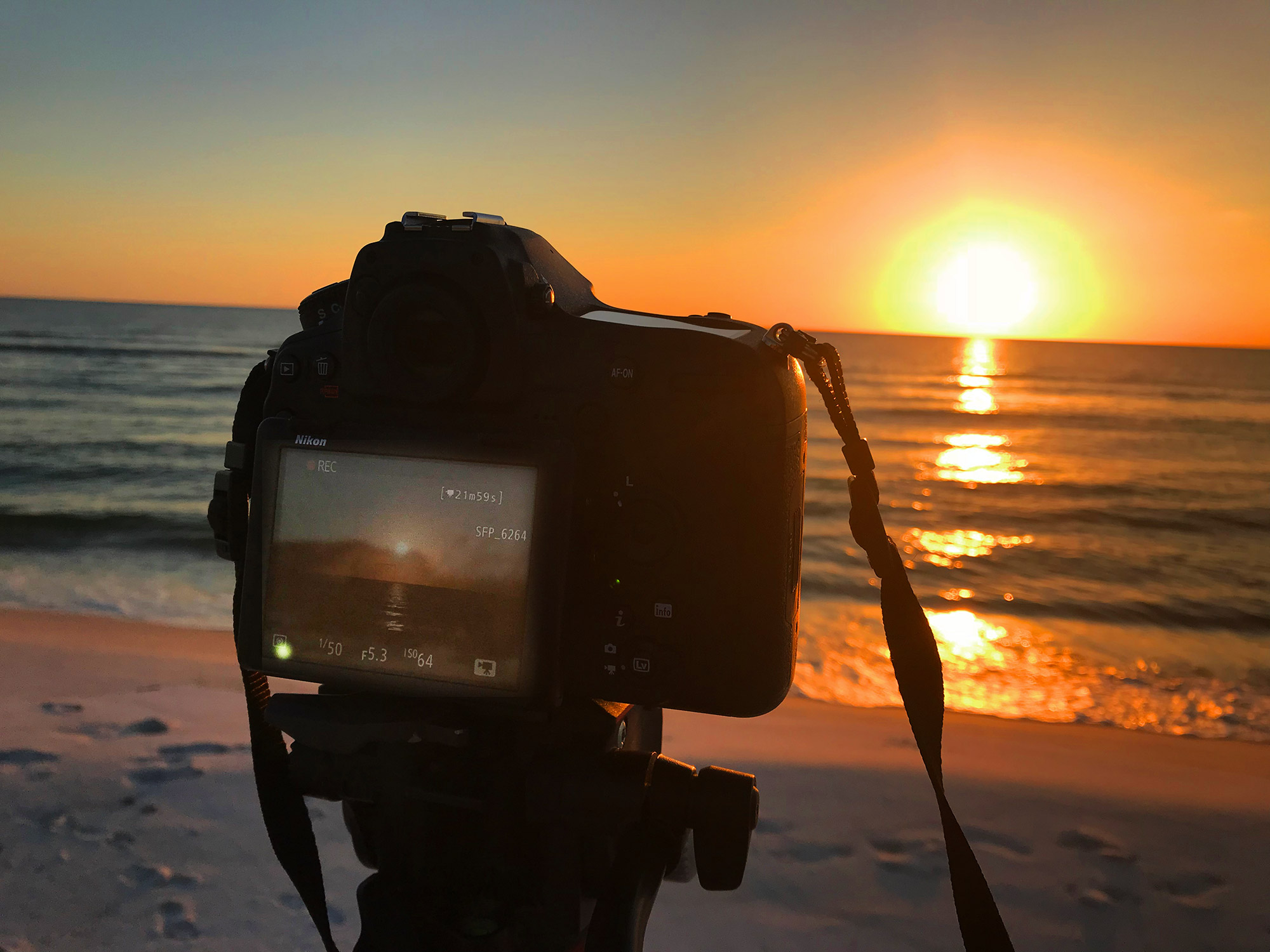
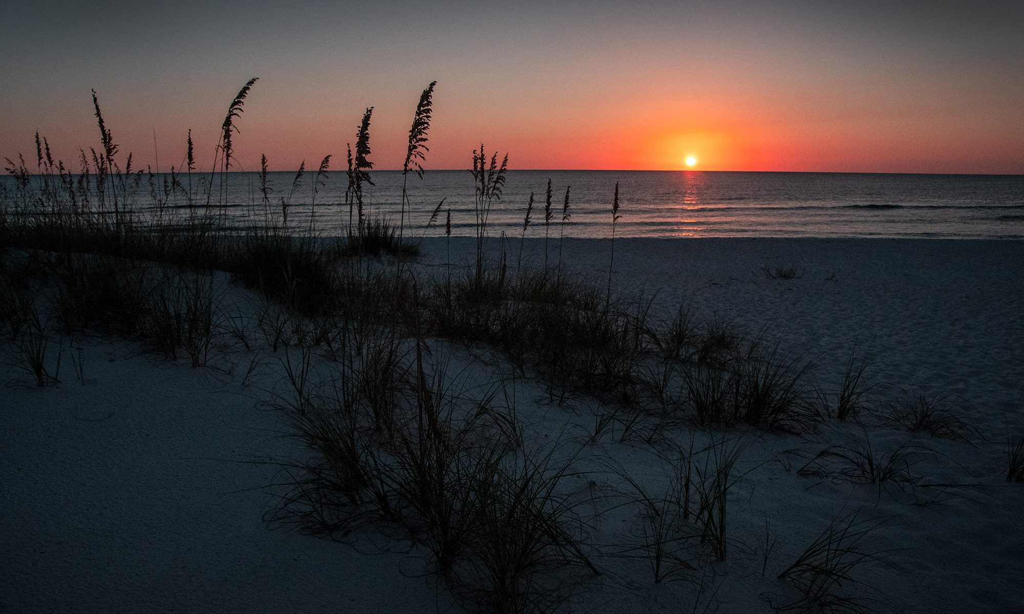
Sunset as seen from St. Joe Peninsula State Park – October 4, 2018. Nikon D850 image.
I have been working on a large video project for an advertising agency located in South Florida and their Texas furniture retailer client. The project is for a massive 62 foot wide by 6 1/2 foot tall video display within the retailer’s mattress showrooms.
The concept is to capture 2 minute long video ‘moments of zen’ – scenes that exude a feeling of peace and quiet in a meditative way. As a result, I have been shooting these videos all around the Southeastern United States.
The videos are technically complex in that it requires the stitching together of three 4k width videos in order to achieve the 8640×1080 dimensions, which are actually wider than an 8k video. I have been using several different cameras to capture video for this project, one of which is the Nikon D850.
One of the requests was to capture some pristine, unspoiled sugar-sand beaches of which the panhandle of Florida is known for. I pre-scouted several locations along the ‘forgotten coast’ and settled in on the area around Apalachicola, FL. specifically St. George Island and St. Joseph Peninsula. I pre-scouted St. Joseph Peninsula State Park specifically knowing it had a westerly facing beach which ideally would give me the ball of the sun setting directly on the Gulf of Mexico horizon as well a a side-lit beach scene.
I had been trying to go to the Florida Panhandle through most of September, 2018 but the weather conditions were always awful with heavy afternoon thunderstorms through much of the month.
Finally, the first week of October looked promising weather-wise, so I drove over from my Ocala home on Thursday October 4th arriving on St. George Island’s beaches in the early afternoon. Getting to this part of the Florida Panhandle is a very picturesque drive along US98, which is right next to the Gulf for a good part of the drive.
After getting several good video captures on St. George Island, I traveled west through Apalachicola and onto St. Joseph Peninsula – at the very end is the state park. I timed things so I would arrive a few hours before sunset and talked to the park ranger who advised that if I didn’t mind a little adventure, he recommended the primitive camping area at the end of the park’s paved road.
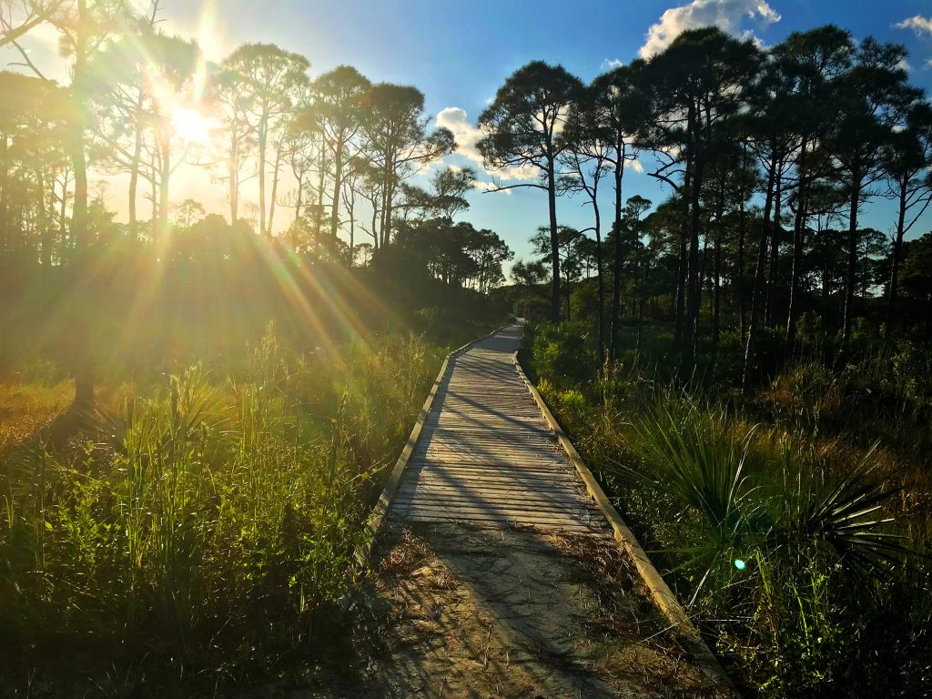
I drove to this area and hiked the approximate 1/2 mile trail over the magnificent 35+ foot dunes arriving on a pristine and empty beach. The sunset was going to be spectacular – without a cloud in the sky. I watched the sun set and experienced the green flash effect that sometimes occurs right as the ball of the sun disappears beneath the horizon.
The green flash is the result of looking at the sun through a greater and greater thickness of atmosphere as you look lower and lower in the sky. Water vapor in the atmosphere absorbs the yellow and orange colors in white sunlight, and air molecules scatter the violet light. That leaves the red and blue-green light to travel directly toward you. Near the horizon, the sun’s light is highly bent or refracted. It’s as though there are two suns – a red one and a blue-green one – partially covering each other. The red one is always closest to the horizon, so when it sets or before it rises, you see only the blue-green disk – the green flash.
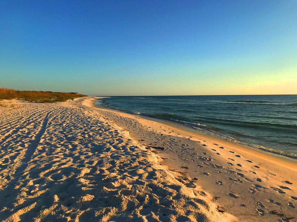
Afterwards, I was treated to a beautiful twilight as I walked back over the dunes. Post sunset there were crepuscular rays – a streak of light that seems to radiate from the sun shortly before or after sunset when sunlight shines through a break in the clouds or a notch in the horizon line and illuminates atmospheric haze or dust particles.

That night, I arrived back at my hotel in Apalachicola and noticed on the weather that a potential storm was brewing off the Yucatan Peninsula, a common occurrence in the fall. The projected path was for the tropical storm to move north into the Gulf where it was predicted to intensify.
This was to become Hurricane Michael.
The next morning (October 5th) I went back onto St. Joseph Peninsula and captured some additional footage of the pristine beaches, then headed home. I was thinking as I left that I wanted to come back to this place – these were some of the most beautiful beaches I had ever seen in the State of Florida.
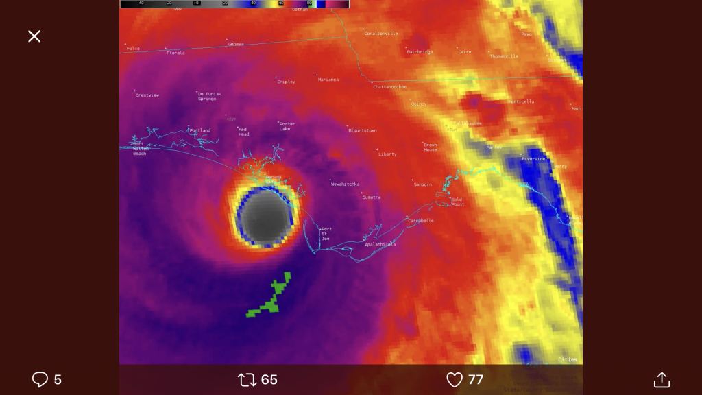
As we now know, this storm became a monster category 4 in intensity – striking the Florida Panhandle on Tuesday, October 10th, 2018. St. Joseph Peninsula was literally cut in half by this monster storm. The beach I photographed the sunset from was completely inundated by a 12+ foot storm surge. The video below shows the unbelievable result with the areas I photographed the sunset from just to the left of frame.
US Highway 98, the road I drove back on, didn’t fair to well either – here is what it looked like right after the storm. The NOAA has an emergency response imagery website where they take satellite images right after the storm to compare to what things where like before the storm. https://storms.ngs.noaa.gov/
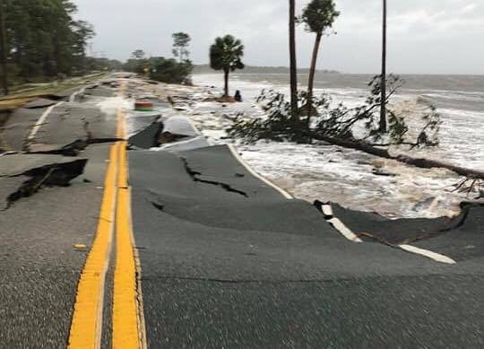
It will take years for this region to recover from the effects of this hurricane. I am hoping to return there sometime in the near future to try and photograph the beaches from the same vantage points I had five days before the storm.

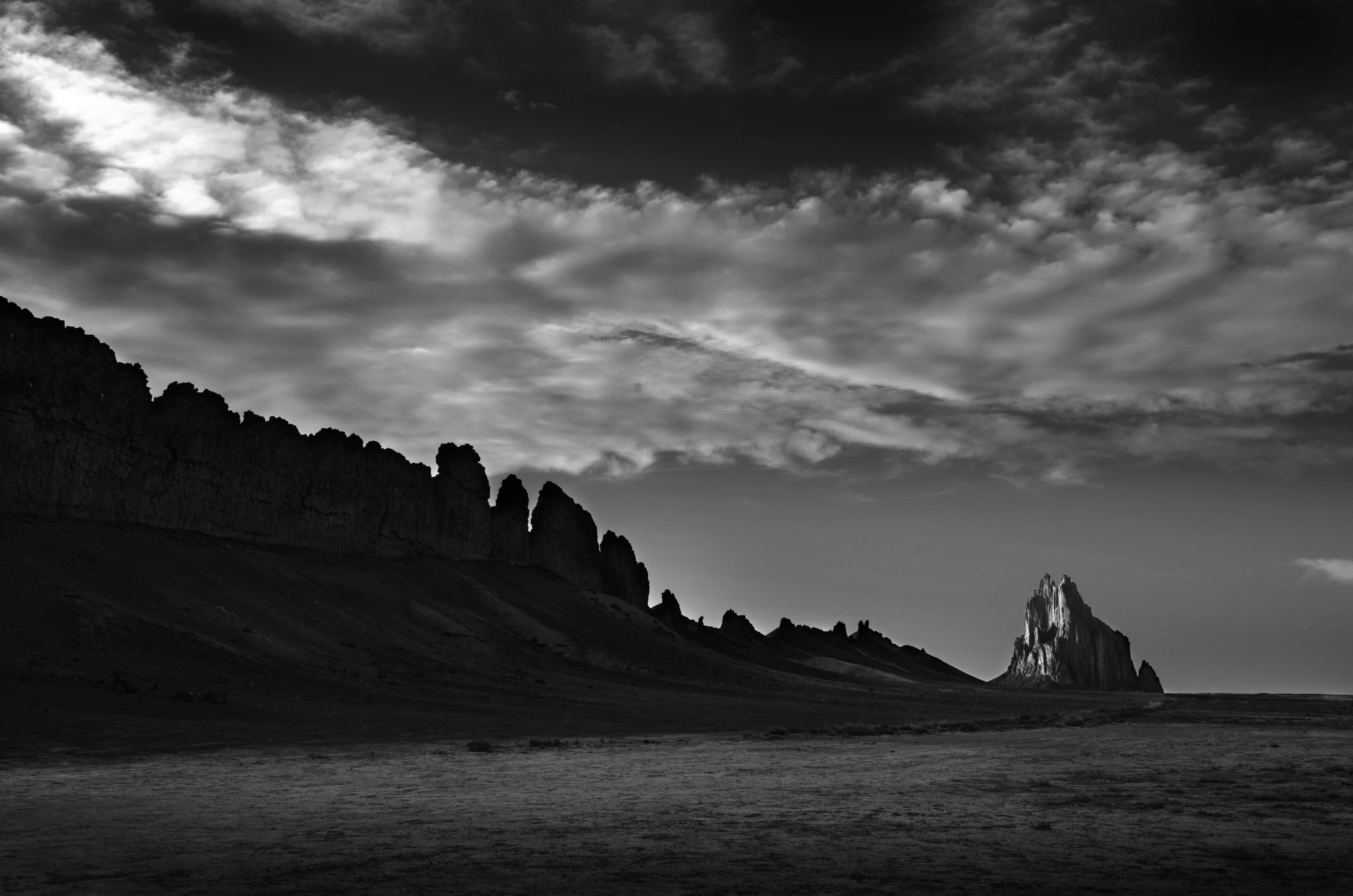
 27 million year old geological ‘wings’ of frozen lava
 Thunderstorms building to the east
 Cloud formations pushed in by the approaching thunderstorms